Thenmap

Thenmap is a repository for historical, current and future borders. You can use it to create maps with your favourite mapping tool, or fetch a ready-made SVG map.
The project constist of an open API to fetch data, and a simple Javascript library to create vizualisations based on Thenmap.
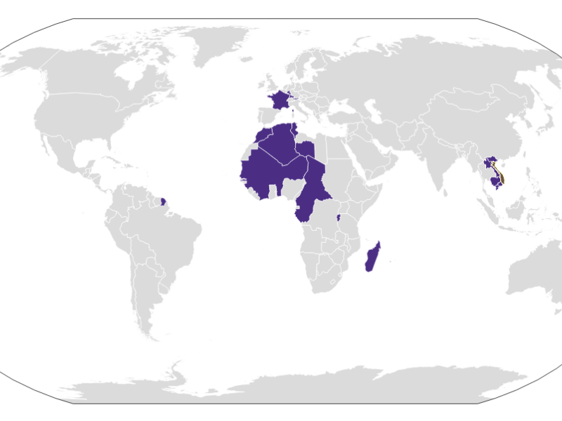
The map above shows French colonies in 1949. Thenmap is work in progress. We are slowly adding more datasets.
- November 2013
- Tools: Python · NodeJS · QGIS
- + thenmap.net
